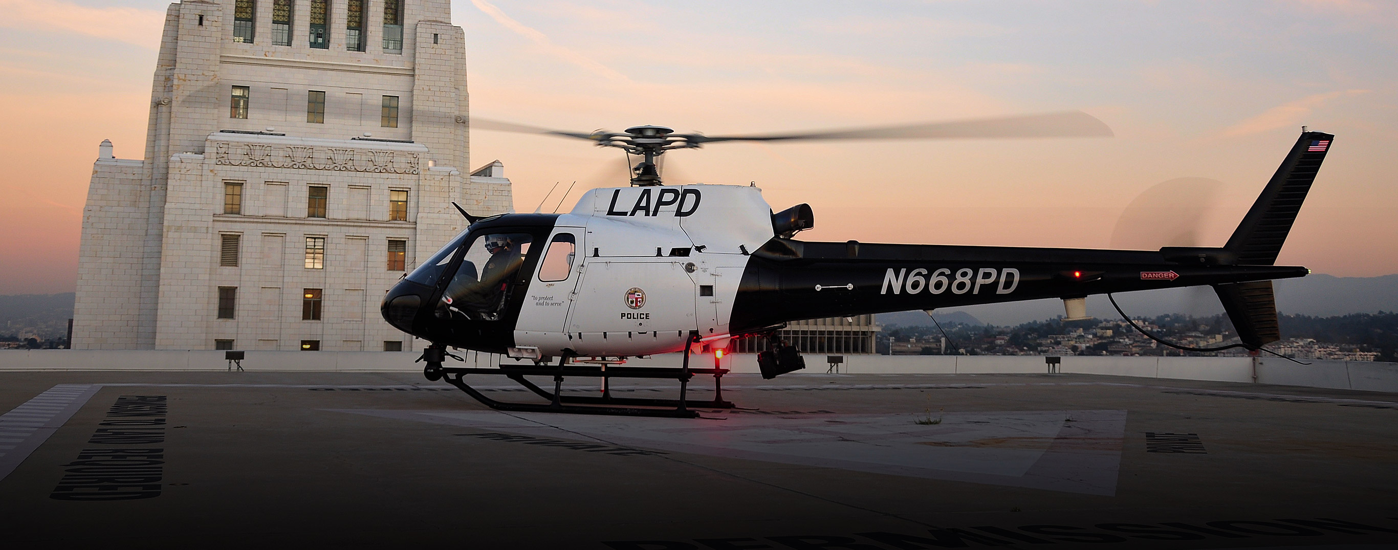

Airborne Law Enforcement
Customers at every level of law enforcement trust SHOTOVER for their daily operations — from municipal police, to state highway patrols and federal agencies.
With our industry leading real-time augmented reality mapping software, you’ll know the exact address of every house you are looking at, be able to pinpoint vehicle locations, coordinates and more. Unique features designed for surveillance include our proprietary 3D compass that allows you to accurately estimate feature sizes, and information regarding not just the nearest street, but the nearest cross-street on the street. For patrol operations, this helps you get cars where you need for surveillance work and ensures your vehicles stay out of sight.
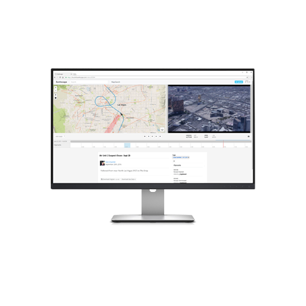
With our secure centralized hosting portal, Earthscape, you can live stream your aircraft video feed to keep others informed during far reaching events. With up to 50 user accounts available per license and real-time streaming notifications, your team will never miss a critical moment.
Featured Videos ALL
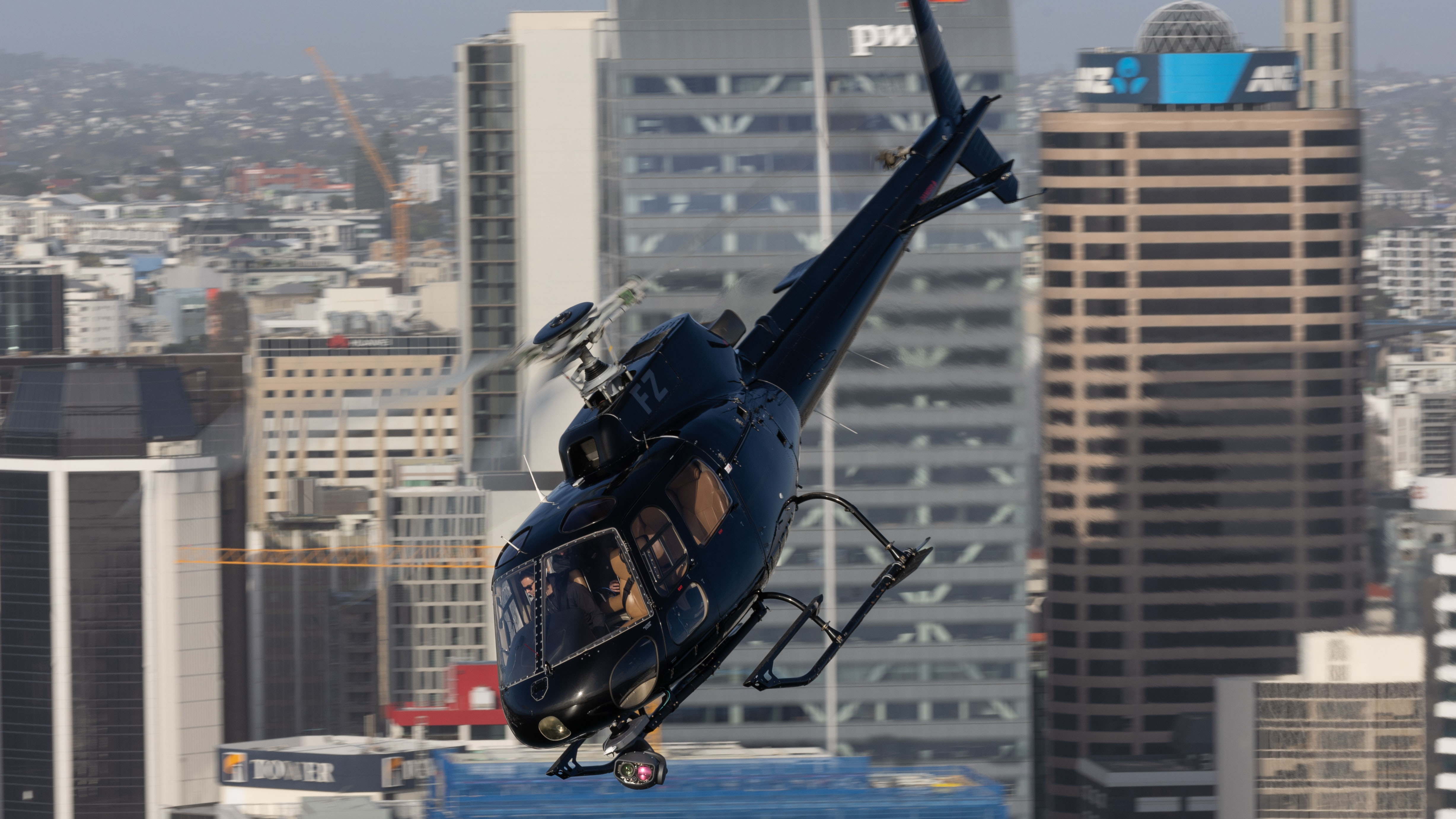

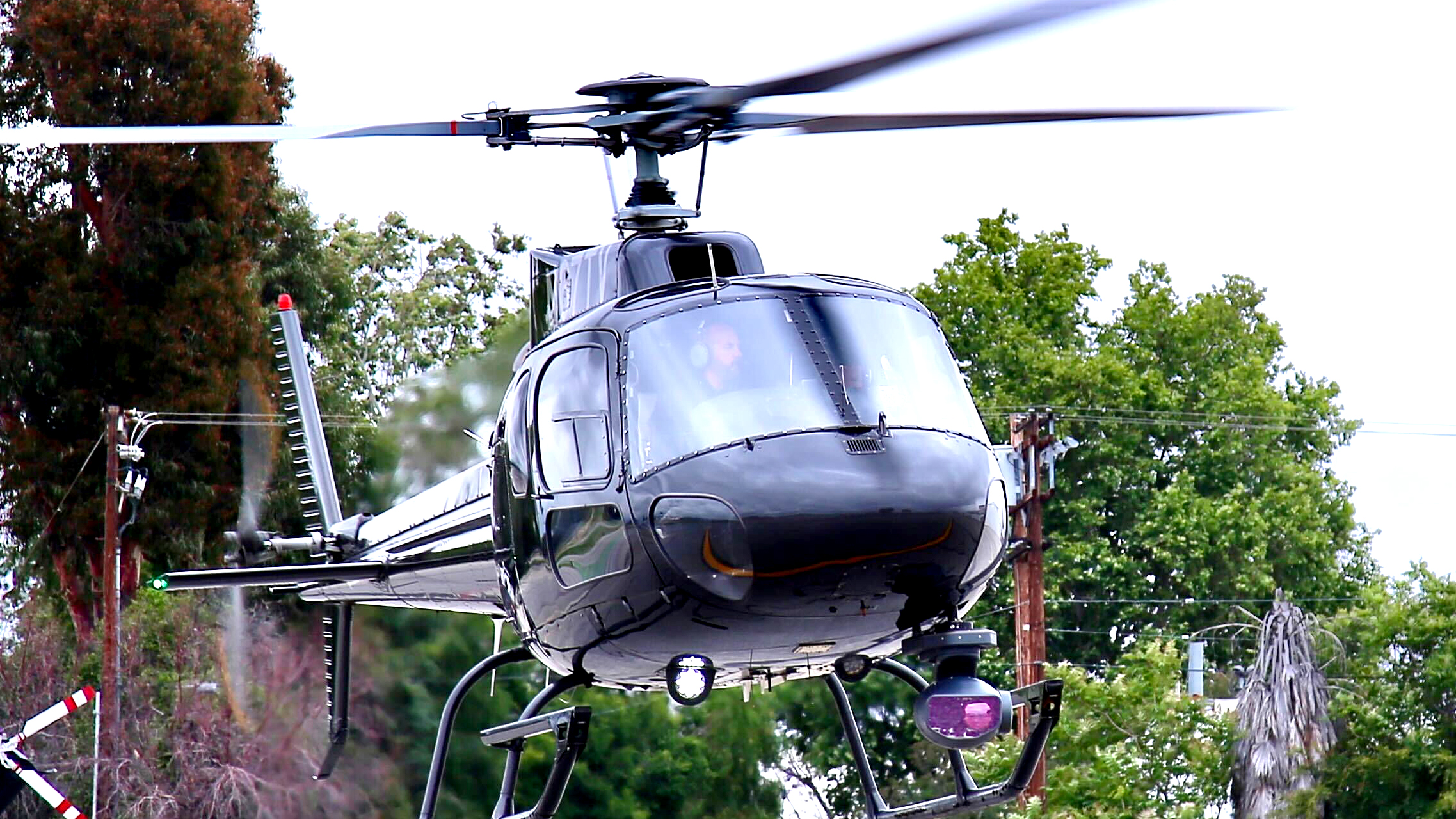
Multi-Sensor & Surveillance Packages
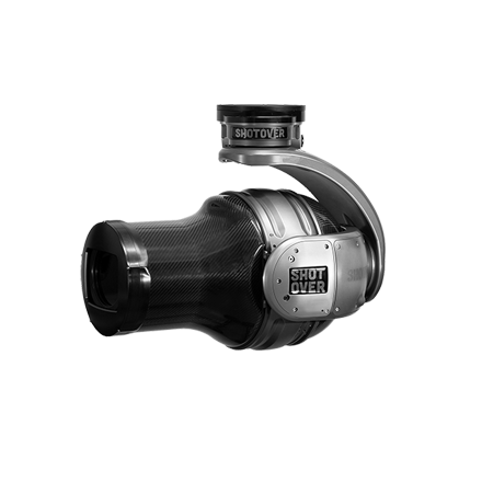
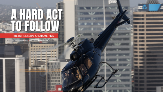
M2 EO/IR Multi-Sensor System
Bringing many firsts to airborne ISR, the M2 Multi-Sensor system comes with SHOTOVER’s 5th generation, true 6-axis gimbal design and is the only EO/IR system that eliminates “gimbal-lock” and “horizon-rolling”.
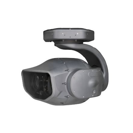
M1 Surveillance
The M1 features the latest in large format color sensor technology for unprecedented daytime clarity and revealing nighttime detail.
Search and Rescue
When you get called, all too often the weather is closing in and it becomes a race against the clock. SHOTOVER has solutions to help you get the job done faster with greater chances of success, because if it was us out there, that’s what we’d want to have.
Covering more surface area quicker by leveraging the latest technology designed for day, night and degraded weather conditions, while automatically keeping track of searched regions, and sharing information in real-time with Incident Command and team members.
Every solution includes nationwide high-resolution terrain and street data, topographic maps, nautical charts, trail overlays, as well as the ability to search more points of interest, than all other airborne solutions combined: national and global data sets of trailheads, mountain summits, airstrips, lakes and much more. Saving lives doesn’t just happen — It requires having the right tools.
Aerial Firefighting
ARS is the world’s leading augmented reality mapping system used in conjunction with aerial firefighting operations. The system provides unsurpassed situational awareness through augmented reality overlays coupled with 3D satellite and synthetic imagery. ARS can be used to produce fire perimeter shapefiles for use with traditional GIS packages such as ESRI ArcInfo. It provides a robust set of drawing and editing tools that can operate on live video and can export the resulting data in the geographic projection of your choice.
Explore Products
“The savings in helicopter time would more than offset the cost of ARS and not missing an area or counting a spot twice is also a money saver.”
- Boulder County Sheriff


Contact Request
Looking for a quote or have a question about our products? Fill out the form below and a SHOTOVER Systems team member will get back to you right away.