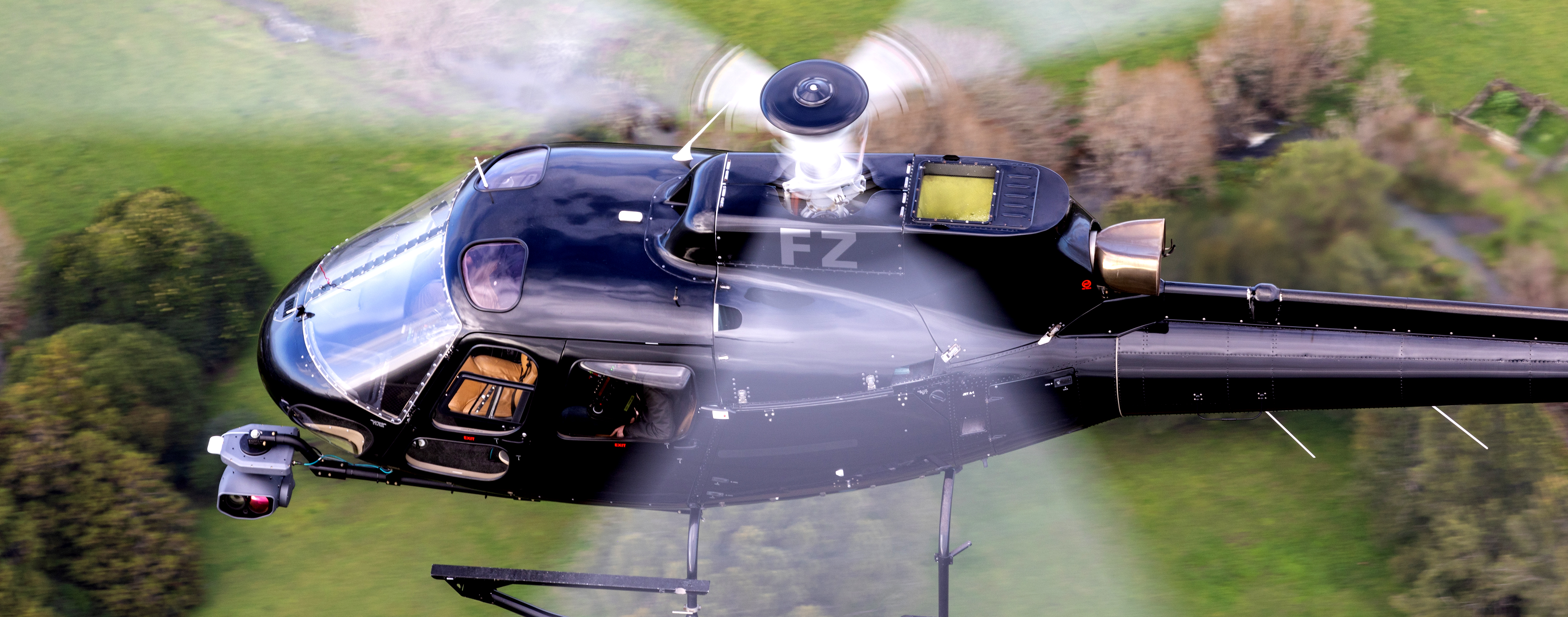
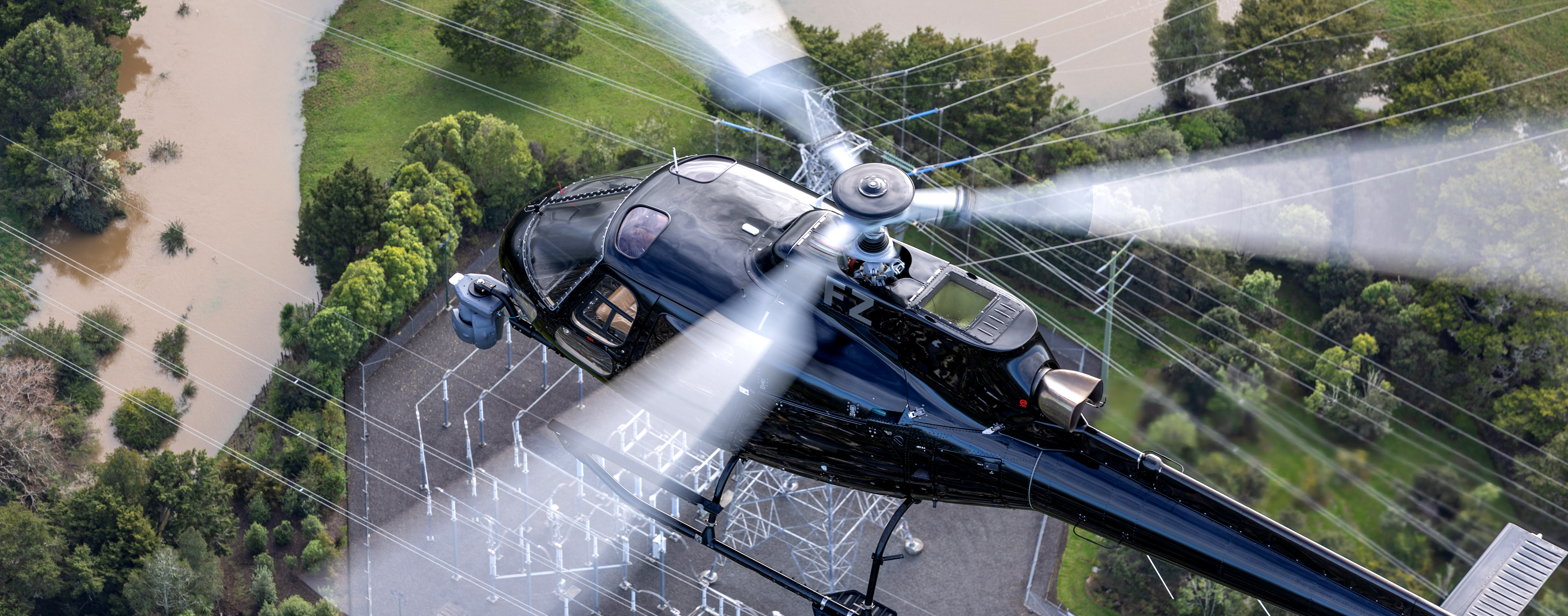
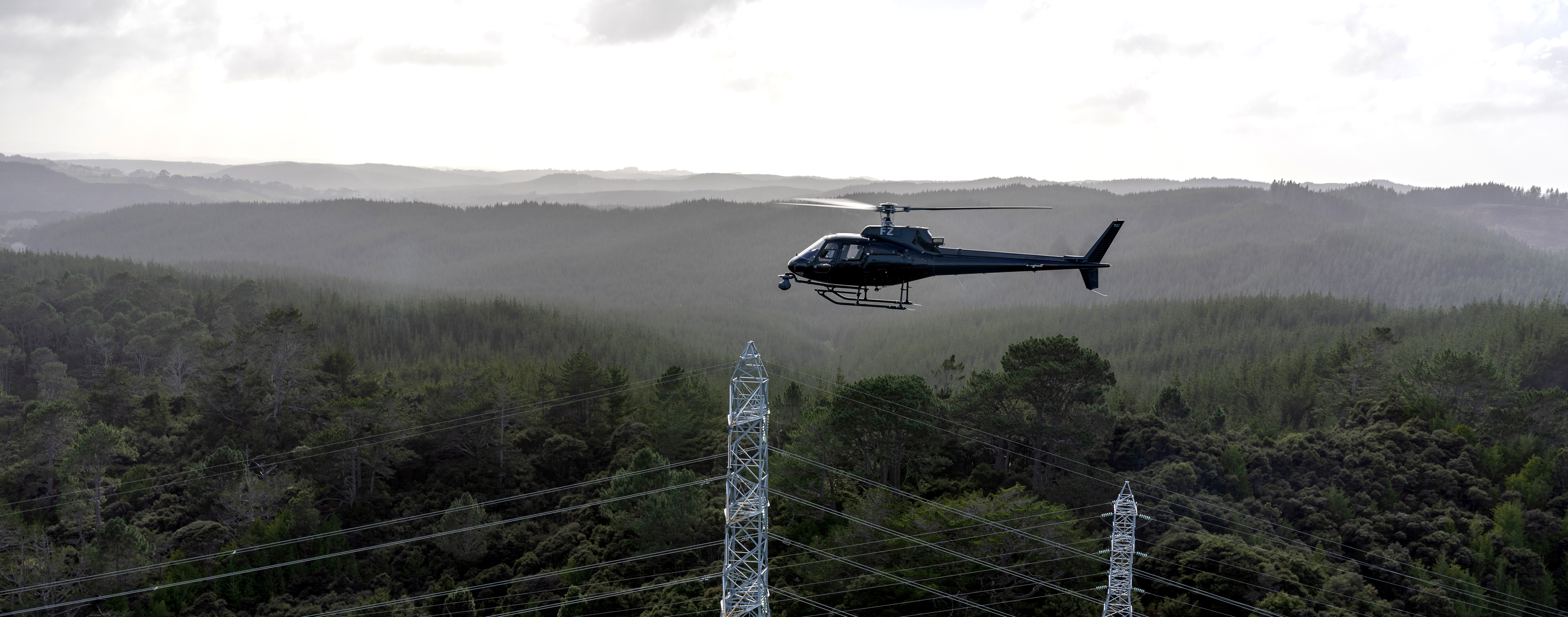
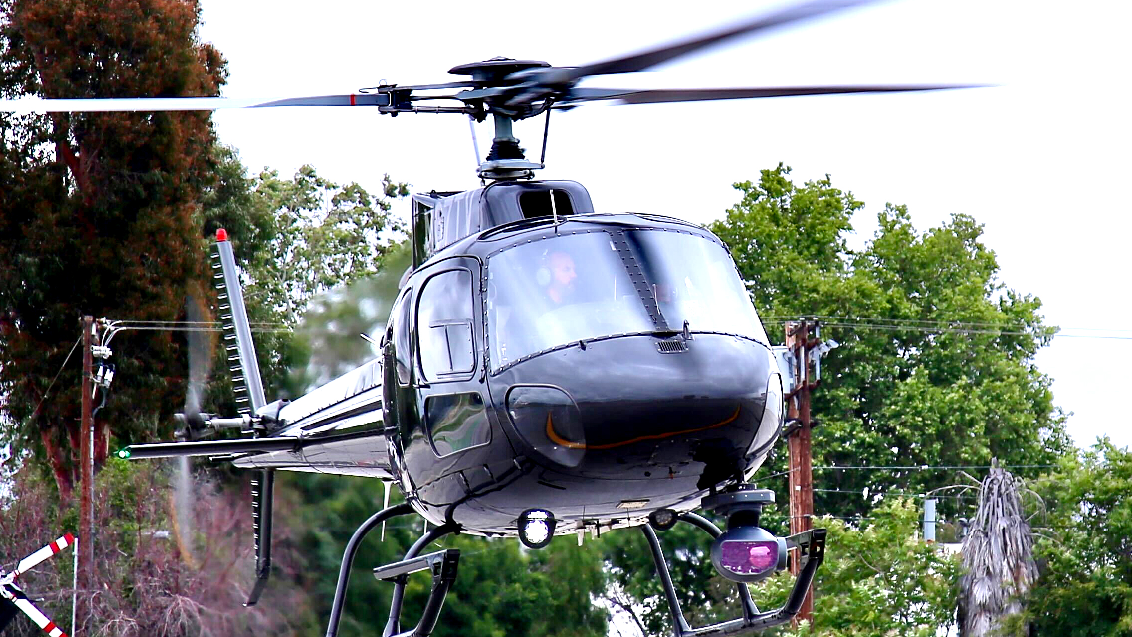
Survey and Utility Inspection
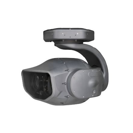
From monitoring assets and polar bear den activity in the North Slope of Alaska’s oil fields to ensuring the safety of electrical distribution networks and high-pressure gas pipelines around the world, SHOTOVER Utility Solutions help keep the world running. Featuring a 6-axis design, the M2 Utility package delivers a superior range of movement and look-down capability coupled with the latest augmented reality and geo-referencing technology to enable cost-effective, accurate, rapid, and automated inspection of your infrastructure.
SHOTOVER replaces the tedious and error-prone job of working with thousands of uncorrelated images captured by a DSLR or trying to manually control a camera with a real-time overlay of your natural gas pipelines, power lines, or geospatial data and automatically steers the camera to record along the line as you look for and document hazards. When you are finished flying, the video can be shared securely with our cloud-based video management solution that shows the video in context with side-by-side maps or imported into your enterprise GIS application using ESRI’s FMV Plug-in.
Faster, easier, and more reliable than working with a drone, operators can collect higher-quality data on a large scale. SHOTOVER provides proven solutions for operators looking to increase the safety and reliability of their networks.
Featured Videos ALL
System Packages
The M2 Utility offers the latest geo-referencing technology seamlessly integrated into a camera system to enable cost-effective, accurate and rapid inspection and fault identification in your infrastructure.
Wildlife Monitoring
By recording fully geo-registered video, ARS allows you to export highly accurate shapefiles indicating the time and position of each animal identified. Other products can only record where the camera is located, not where it looks or where the cross-hair is looking and no place else. Combined with our Ground Control Station, post-mission analysis and reporting is accomplished in significantly less time and effort.
Explore Products
Identify and name locations with point-point accuracy and instantly convert to numerous coordinate systems.

Contact Request
Looking for a quote or have a question about our products? Fill out the form below and a SHOTOVER Systems team member will get back to you right away.